Flood Response Logistics: Tracking assets when roads, networks, and maps change
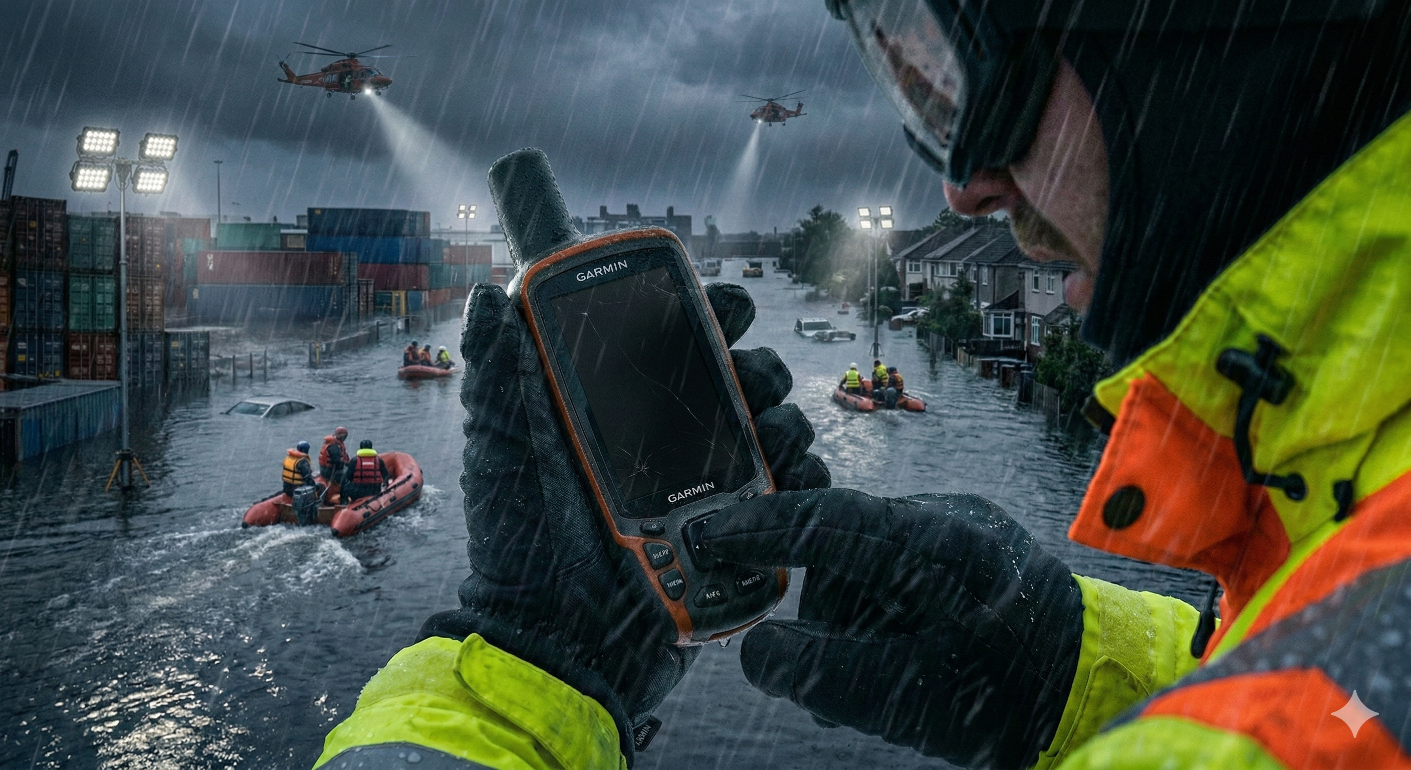
Floods don’t just disrupt operations. They rewrite the operating environment in real time. Roads become rivers. Detours become permanent for weeks. Facilities that were accessible yesterday turn into islands today. Communication becomes intermittent, and the distance between what the map shows and what responders experience grows wider by the hour. This is why flood response is one of the most revealing stress tests for any tracking strategy. It forces a simple question: Can you maintain location truth when the world stops matching your assumptions?
Juxta
Juxta Team
Why flood response breaks “normal” tracking
Most tracking systems are built for steady-state commerce. Flood response is not commerce. It is dynamic coordination under constraint.
Three factors collide at once:
First, infrastructure confidence collapses.
Even if towers remain standing, networks saturate, power fails, and coverage becomes inconsistent across the exact regions where you need the most coordination.
Second, geography changes faster than your tools update.
Routes that are legal and safe at 9 a.m. are blocked at noon. Temporary closures appear without warning. Standard navigation assumptions become liabilities.
Third, the cost of uncertainty spikes.
In everyday logistics, “close enough” location can be tolerable. In flood response, ambiguity causes missed handoffs, duplicate dispatches, wasted fuel, delayed medical or shelter deliveries, and avoidable exposure to unsafe conditions.
Flood response doesn’t ask for prettier maps. It demands a location layer that stays credible while everything else degrades.
The difference between tracking and coordination
During floods, organizations often discover they weren’t truly tracking assets. They were monitoring them.
Monitoring tells you that a vehicle was on-site, that a crew checked in, that an asset pinged near a region.
Coordination requires something stronger:
Coordination means you can assign, reroute, and confirm execution with confidence.
That only happens when your location system can survive intermittent connectivity and inconsistent GPS quality without becoming misleading.
This is also where “last known location” quietly becomes a trap. In rapidly shifting environments, last-known data is not neutral. It creates false confidence that sends teams down dead routes, into congestion, or toward hazards.
What “flood-ready” tracking actually requires
A flood-ready tracking layer has to behave differently from a steady-state fleet system. It needs four properties.
Continuity across degraded networks
A system must remain usable when updates don’t arrive on schedule. Not by pretending everything is fine, but by maintaining credible location truth until synchronization is possible.
Confidence awareness
The system must communicate uncertainty. When the world is chaotic, a map that never admits doubt becomes dangerous. Leaders need to know when location is reliable enough to act on and when it is not.
Context that survives route instability
If roads and access points change, the system can’t rely on static routes to infer progress. It must support decisions even when navigation is no longer predictable.
Operational auditability
Flood response always produces disputes after the fact: what moved, when it moved, what was delivered, what was delayed, and why. If your location data cannot be reconstructed with integrity, the after-action review becomes a blame exercise instead of a learning loop.
Universal Positioning System (UPS): resilient coordinates without site infrastructure
Juxta defines a Universal Positioning System (UPS) as a location substrate that provides usable coordinates across environments without requiring fixed infrastructure to be deployed, calibrated, and maintained across every site.
Flood response is an ideal example of why UPS exists.
In a flood, you do not get to pre-install infrastructure at every facility, staging zone, shelter, or temporary distribution node. You don’t get to assume GPS quality will stay high. You don’t get to assume stable connectivity. And you definitely don’t get to assume the map will match reality.
UPS is built for conditions where conventional dependencies become liabilities. It treats degraded-mode operation as normal, not exceptional. And it centers the objective that flood response depends on most: "Continuity you can act on".
A practical flood-response playbook for location truth
This isn’t a technology checklist. It’s an operating checklist. If you’re leading logistics during floods, these are the questions that matter.
1) Can we stage assets without creating search work?
If staging becomes “somewhere near the school” and teams still have to hunt, you’re not staged. You’re guessing.
2) Can we reroute without losing accountability?
When routes change, you need to know whether an asset is delayed, detoured, stopped, or unreachable. If you can’t distinguish these states, you can’t coordinate.
3) Can we operate when updates are delayed?
If the system requires frequent check-ins to remain credible, it will degrade exactly when networks saturate.
4) Can we prove what happened after the flood?
Funding, insurance, and governance often depend on reconstruction of movement and delivery. Your location layer must be defensible, not just visual.
5) Can we expand operations without expanding infrastructure projects?
In flood response, the number of nodes grows quickly: shelters, pop-up supply points, temporary command posts, mutual aid depots. Every per-site dependency becomes a scaling limit.
Flood response reveals whether your tracking is a system or a collection of assumptions.
The broader lesson: floods are the future of “normal” operations
It’s tempting to think floods are a special category. Operationally, they’re a preview. More sectors are now operating under flood-like constraints even on clear days: dense urban environments, infrastructure strain, regulatory routing constraints, cybersecurity threats, and contested signal environments.
The systems that win are not the ones with the best average-case performance. They’re the ones whose location truth survives disruption.
The new standard for resilience
The first question in flood response is not “how many vehicles do we have?” It’s “where is everything, and can we trust that answer?”
A flood-ready tracking strategy treats continuity, confidence, and auditability as baseline requirements. That’s what UPS is designed to deliver: a universal coordinate layer that remains useful when roads change, networks strain, and maps lag behind reality.
When the environment is rewriting itself, the only advantage is truth you can act on.