When Every Minute Matters: Degraded-mode tracking for disaster response
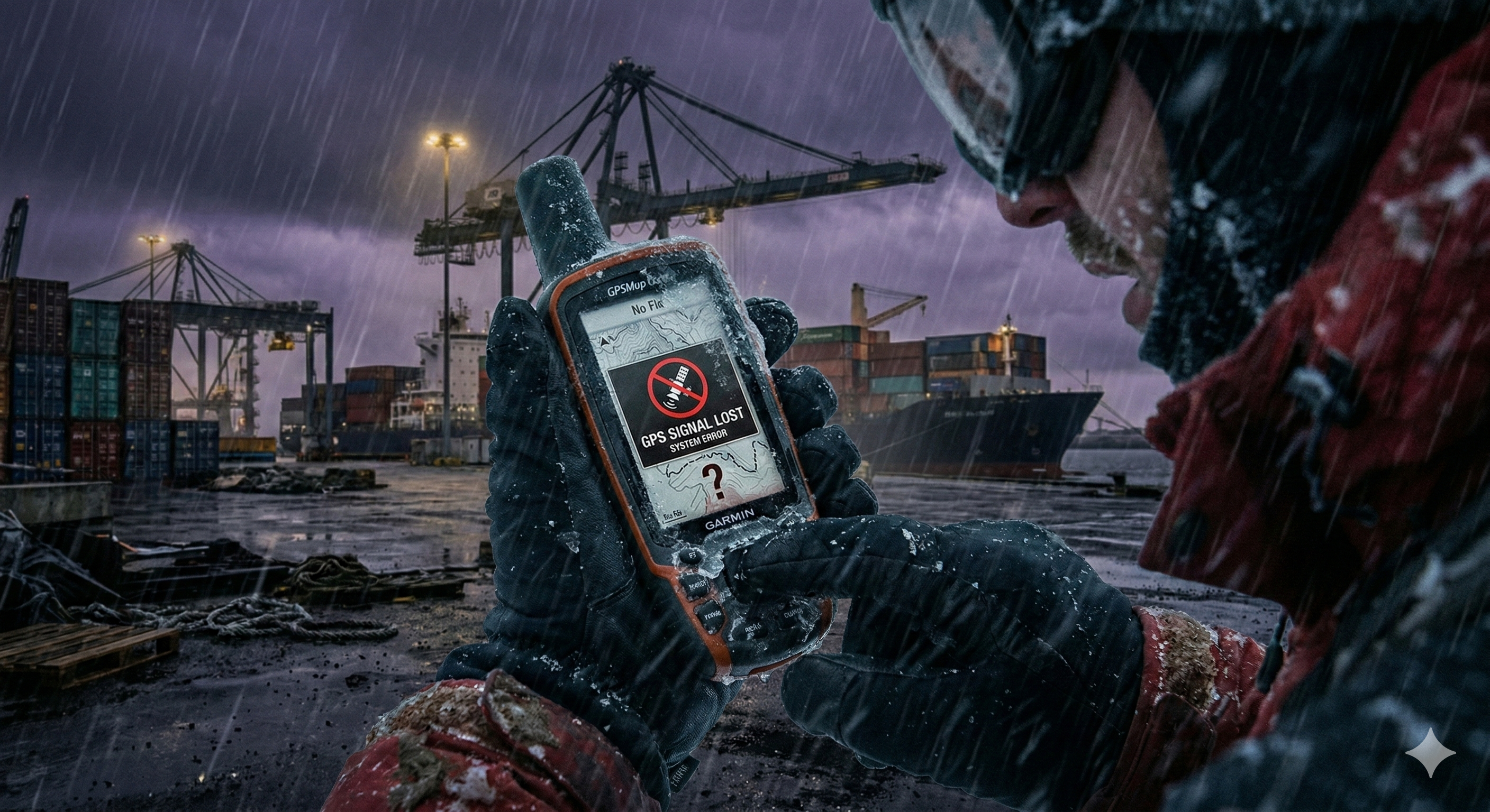
Tracking must remain credible in degraded conditions. If it doesn’t, it’s not tracking. It’s a story we tell ourselves until reality interrupts.
Juxta
Juxta Team
Disaster response is where operational technology gets judged without mercy. Not by dashboards, not by slideware, and not by best-case assumptions. It gets judged by whether crews can locate vehicles, equipment, supplies, and people fast enough to keep the mission moving when roads are damaged, coverage is inconsistent, and the environment itself is changing.
That’s why disaster response is also the clearest preview of the next era of tracking across every industry. What looks like an extreme scenario is becoming an everyday constraint: intermittent connectivity, overloaded networks, inconsistent GPS quality, and a growing gap between what systems claim and what responders can act on.
The core requirement is simple:
Tracking must remain credible in degraded conditions.
If it doesn’t, it’s not tracking. It’s a story we tell ourselves until reality interrupts.
“Degraded-mode” isn’t an edge case anymore
In disaster operations, degraded-mode is the default. Even when cell towers stand, networks become saturated. Even when satellites are available, GPS quality degrades around structures, terrain, smoke, storm conditions, and the dense, chaotic geometry of temporary response infrastructure.
The result is predictable:
- Location updates arrive late, then look “current.”
- Coordinates drift just enough to send teams to the wrong place.
- Assets appear present but remain unfindable.
- Dispatch becomes a conversation, not an execution system.
Most organizations treat this as unavoidable. It isn’t. It is a design consequence of systems built for normal conditions trying to survive abnormal ones.
The hidden cost of unreliable location in a crisis
Disaster response exposes a truth that many commercial teams only discover slowly: when location data becomes untrustworthy, every downstream decision becomes slower, more expensive, and more political.
You can see the costs in real operational behaviors:
Teams begin double-checking every instruction. Supervisors become manual routers. Status updates become narrative. Movement becomes conservative. And “just in case” behaviors spread because the system can’t confidently answer the most basic question: where is it right now?
When that happens, you don’t just lose time. You lose tempo. And tempo is the difference between containment and escalation.
What responders actually need from a tracking layer
Crisis operations don’t require perfection. They require reliability under constraint. That means a location layer designed around three realities:
First, connectivity will be intermittent.
If your system assumes always-on communication, it will fail exactly when demand peaks.
Second, the environment will be adversarial to GPS confidence.
Urban canyons, terrain, temporary structures, and occlusions are not anomalies. They are the operating environment.
Third, “good enough” accuracy is meaningless without continuity.
A single precise point does not help if the system can’t sustain credible tracking over time.
What responders need is continuity they can act on, even if conditions are imperfect.
Universal Positioning System (UPS): continuity without infrastructure
Juxta defines a Universal Positioning System (UPS) as a positioning substrate that provides usable coordinates across environments without requiring fixed infrastructure to be deployed, calibrated, and maintained at every site.
UPS is designed for the moments when conventional assumptions collapse:
- When networks are degraded or overloaded
- When GPS is inconsistent or compromised by the environment
- When operations move between indoor and outdoor zones continuously
- When deployment time is measured in hours, not quarters
The important shift is not a new feature. It’s a new posture:
Location becomes an operational primitive that stays available when other systems degrade.
Degraded-mode tracking is not just “offline mode”
Many systems claim offline capability. In practice, “offline mode” often means the system keeps collecting data and hopes it can reconcile later.
Disaster operations require more than that. They require real-time credibility with delayed communications. They require a system that can maintain local truth long enough to support decisions, then synchronize without rewriting history.
If the system can’t preserve continuity and confidence under degraded conditions, it forces responders into manual workarounds that compound over time.
A response leader’s evaluation rubric
If you’re responsible for emergency operations—public sector, utilities, industrial response, or private logistics in crisis—use questions that reveal the dependency model instead of the feature list.
1) What happens when connectivity is intermittent for hours?
If the system collapses into silence, dispatch becomes voice and text again.
2) How does the system express confidence?
A map that never admits uncertainty becomes dangerous in a crisis.
3) Can field teams act without waiting for “the platform”?
If the system is centralized-first, it will slow down when central systems are strained.
4) Does it function across indoor/outdoor transitions without special site work?
In disaster response, you don’t get time for per-site infrastructure projects.
5) Can you reconstruct what happened afterward with integrity?
After-action reviews are where funding, accountability, and credibility are decided. Your location layer needs auditability, not just animation.
The commercial lesson: crisis constraints are becoming normal constraints
Disaster response is not a niche domain. It’s a stress test for the future of tracking in freight, field service, utilities, mining, construction, and public infrastructure.
As operations become more distributed and environments more complex, “tracking” will be divided into two categories:
- Systems that perform in ideal conditions
- Systems that remain credible when conditions degrade
UPS is built for the second category.
The standard for the next era
In disaster response, the most important attribute is not a dashboard.
It is not a device.
It is not a marketing claim about coverage.
Can your location truth survive reality?
Degraded-mode tracking is the new baseline for resilience. Organizations that adopt it will move faster, coordinate better, and recover sooner—not because they had more data, but because they had location intelligence that stayed usable when the world stopped behaving.