Real-time asset tracking without GPS or surrounding infrastructure.

Long battery life
Up to 12 months depending on update rate

Rechargeable
Deploy tags instantly without setting up surrounding hardware

Multi-network transmission
WiFi, BLE, cellular, radio, and offline synchronization support

Instant deployment
Deploy tags instantly without setting up surrounding hardware



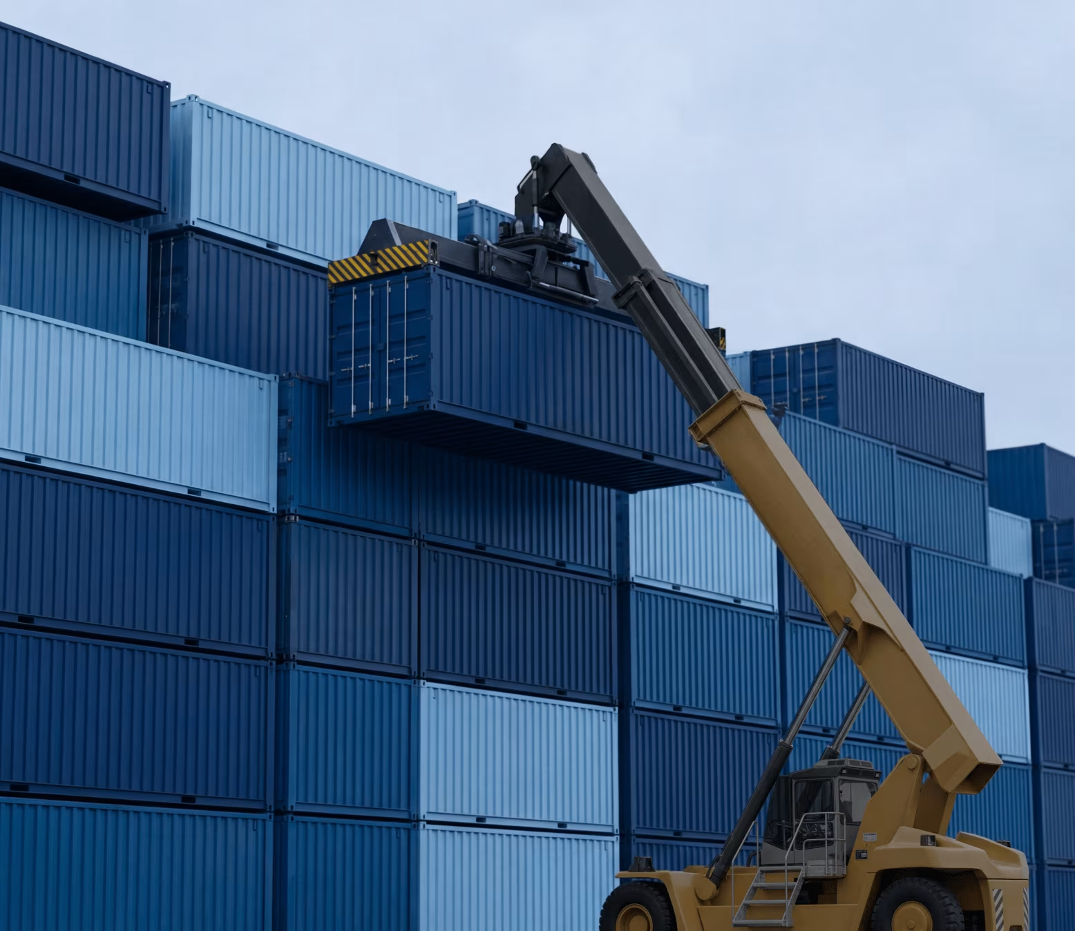



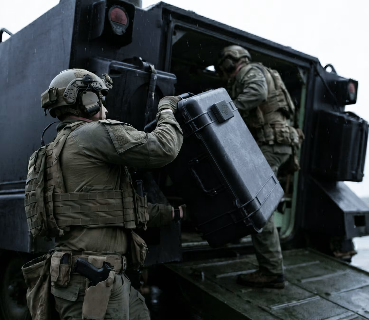
Operational visibility without missing context.

.avif)
Reduce lost equipment
Minimize misplaced assets across warehouses, hospitals, and field operations
28%

.avif)
Improve inventory visibility
Maintain real-time awareness of asset location and movement
.svg)
43 %

.avif)
Faster asset recovery
Locate critical equipment in seconds instead of hours
4 x faster

.avif)
Optimized ordering & logistics
Improve operational planning with accurate movement and utilization data
NODE1 is affordable,
and deployment-ready.

Dimensions
2.4" (L) x 2.4" (W) x 0.8" (H)

Weight
90 grams (3.17oz)

Cost
$5-20/tag (based on volume)
+ standard software cost

Battery Life
4-12 months depending
on tracking frequency;
rechargeable and reusable

Connectivity
Encrypted; transmits via WiFi, BLE, cellular or radio; stores data locally when offline and re-syncs online
%20(1).avif)
Real-world impact across industries.

A defense team maintains visibility in GPS-denied environments

1m
accuracy in complex environments

A global logistics operator improves warehouse visibility without infrastructure

42%
time spent locating assets

A regional hospital network reduces equipment search time across facilities
35%
equipment search time
A defense team maintains visibility in GPS-denied environments Copy
1m
accuracy in complex environments
Juxta makes any environment location-aware in minutes.
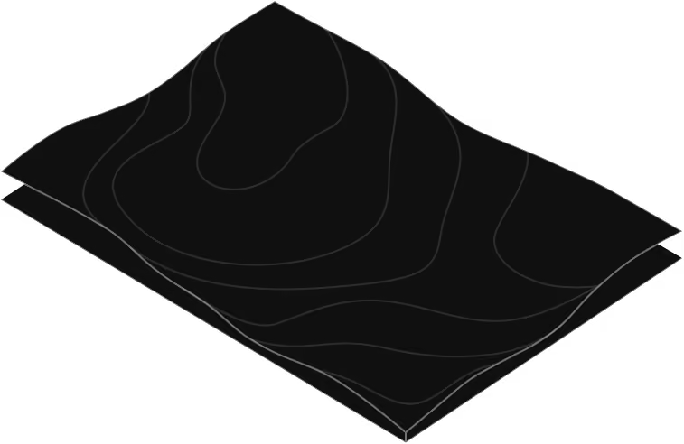
Upload maps
Submit floorplans or satellite imagery through the web portal

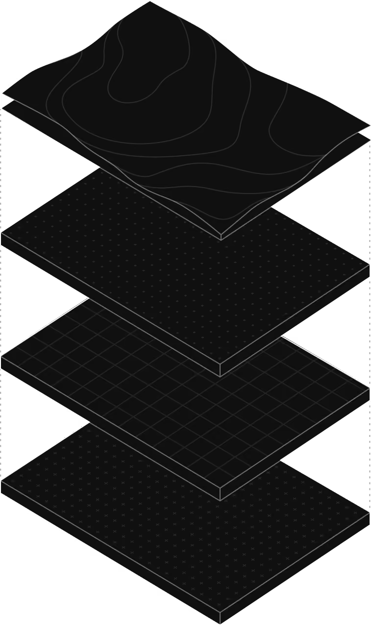
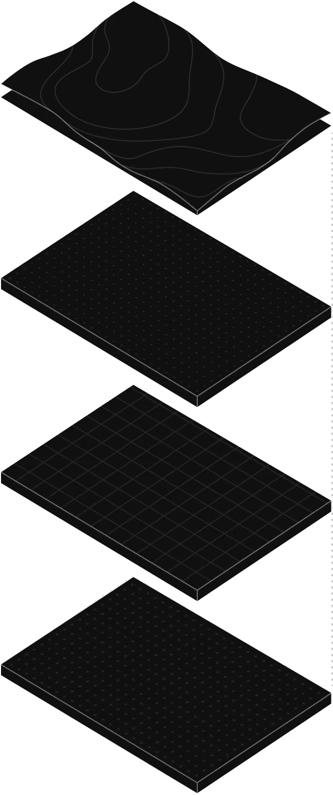
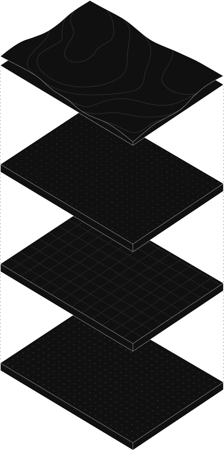
Sensor simulation
Juxta renders environments into 3D and simulates movement and sensor behavior
Model training
Models are optimized for positioning accuracy and drift correction
Deployment
Deploy directly to Asset Tags through remote updates